![An Australian Government Initiative [logo]](/images/austgovt_brown_90px.gif)

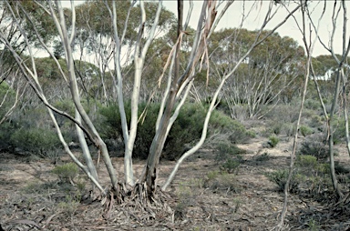 Mallee shrubland showing lignotuber near Lake Grace, WA |
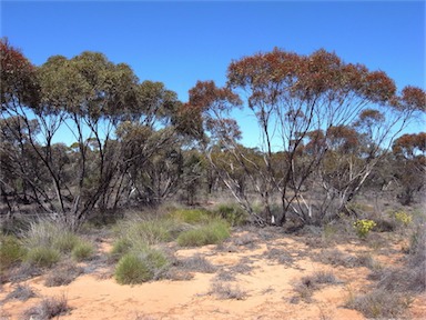 Mallee with Triodia understorey, Mungo National Park, NSW |
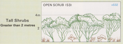
Foliage cover of tallest stratum 30 - 70% |
Mallee Woodlands and Shrublands
- Mallee eucalypts are multi-branched from
ground level, usually with a flattened canopy
rarely exceeding 6m in height. They grow
from a woody underground rootstock called
a lignotuber and are generally found on harsh
sites.
- This vegetation occurs in the winter rainfall belts
of semi-arid areas in southern Australia, in
south-western New South Wales, north-western
Victoria, southern South Australia and in the
south-west of Western Australia.
- Widespread mallee species include Eucalyptus
dumosa (white mallee), E. socialis (red mallee),
E. gracilis (yorrell), E. oleosa (glossy-leaved
red mallee), E. incrassata (ridge-fruited mallee)
and E. diversifolia (soap mallee).
- Co-dominants can include other Eucalyptus spp. with a tree form and species of Melaleuca, Acacia, Allocasuarina and Hakea.
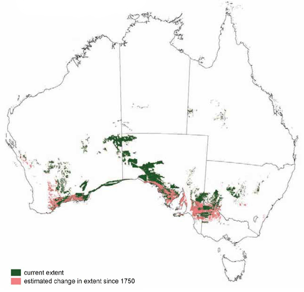
Mallee Woodlands and Shrublands in Victoria and parts of South Australia and Western Australia have been extensively cleared, with only isolated remnants in some areas. They remain widespread in the arid zone of South Australia and Western Australia.
![]() Photos from the Australian Plant Image Index
Photos from the Australian Plant Image Index
Sources: Australia's Native Vegetation - from rainforest to spinifex, map and information poster produced by the National Land & Water Audit, Natural Heritage Trust, Australian Government, 2001
Map: Australia's Native Vegetation - A summary of Australia's Major Vegetation Groups, 2007, Australian Government website
https://www.environment.gov.au/system/files/resources/a9897cf2-9d38-4201-bea2-13dadf3af9a8/files/major-veg-summary.pdf
Structure diagram: Atlas of Australian Resources - Vol. 6, Vegetation,
AUSLIG, Canberra, 1990